Abolishing Just ICE Misses the Point: A Podcast with Melissa and Todd
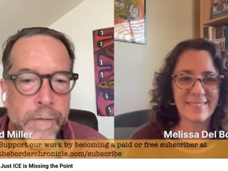
In the spirit of broadening the analysis beyond ICE, Border Chronicle cofounders Melissa del Bosque and Todd Miller discuss the leading role the U.S. Border Patrol has played in violent operations across the country.
We analyze how these shocking immigration sweeps—such as the one in Minneapolis that killed Renée Good and Alex Pretti—extend the U.S. border into the interior. To understand these operations, it is essential to examine the extraconstitutional powers that the Border Patrol has long exercised in the borderlands, where the agency has enjoyed impunity for its abuses. The people of the borderlands and border crossers have faced this ironfisted authoritarianism for decades.
Today, the United States appears to be entering a new phase of expanded border policing—similar to the Operation Gatekeeper deterrence of the 1990s or the sweeping powers and massive budgets that followed 9/11. Now the border can be anywhere, and the guns pointed at anyone—all with the enthusiastic support of the defense contractors who stand to profit.
But the good news is, people have had enough.
- Also, you can purchase Todd’s book Border Patrol Nation, which we talk about in this podcast at the Border Chronicle bookshop.
Authors

Related Articles
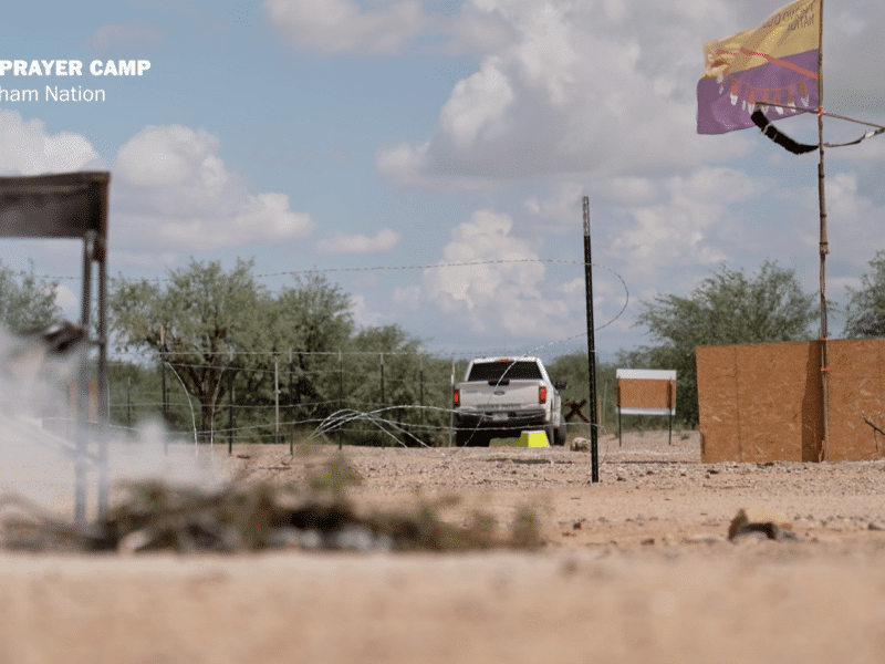
“We See No Border”: The Tohono O’odham Fight Against the Border Wall
The irreparable harm that has already been done, says tribal chairman Verlon Jose, you can feel it, hear it, in the people.
Swarm Intelligence: A Reporter’s Notebook on the Freedom of Movement in the Maasai Borderlands
Could solutions to climate woes such as drought be found in the freedom of mobility? This on-the-ground report from the Kenya-Tanzania border examines that question and more.
Wall Watch: Mapping Trump’s $46 Billion Border Mega-Project
In this week’s podcast, Melissa del Bosque and Geographer Dugan Meyer explain how the Border Chronicle’s new project, Wall Watch, helps residents document and understand the massive construction project underway at the U.S.-Mexico border.
