The Border Chronicle Weekly Update: August 14
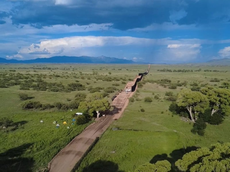
As DHS gaslights border communities, help document the reality on Wall Watch, our new community powered map for border wall construction, and a podcast from the resistance in Lochiel, Arizona, where protestors try to save the last ancient Cottonwood tree from bulldozers.
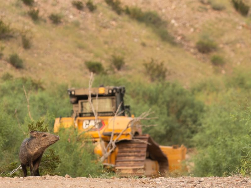
“Washington doesn’t get to contradict what we are seeing with our own eyes,” wrote members of No Big Bend Wall Thursday in a social media post. The group, which consists of Big Bend landowners, residents and people who love the iconic national park were responding to a statement issued by CBP Commissioner Rodney Scott. The federal Customs and Border Protection agency is charged with overseeing border wall construction across the 1,954-mile border.
The $1.7 billion project in Big Bend includes 80 miles of patrol road through Big Bend National Park, and 17 miles of vehicle barrier four to six feet high. The construction will involve dynamiting cliffs and mountains. Federal laws that would protect the environment, archeological sites and wildlife have already been waived by the Department of Homeland Security. In his statement, Scott wrote “We are not building a 30-foot wall or stadium lighting through Big Bend National Park, Big Bend Ranch State Park or The Black Gap Wildlife Management Area.” Contractors are, however, building a new access road, installing surveillance technology and vehicle barriers “in limited, strategic locations,” Scott added.
The bulldozers are in Big Bend to “preserve the landscape,” he said, “We will not leave Big Bend as an opening for cartels to exploit by shifting their routes and tactics.”
“Preserving” a landscape by bulldozing it and dynamiting it, is a funny way to preserve things. Another irony is that due to its remoteness, high cliffs and extremely rugged terrain, the Big Bend region has very few migrant crossings. The U.S. government creating an accessible patrol road will only make it easier for smugglers to transport people or drug loads through the park. And DHS and CBP with their constant changing narratives, and failure to communicate with residents and conservationists as the bulldozers cut a wide swath through the remote and pristine national park is only brewing more animosity. “The finger pointing between agencies, lack of transparent communication with local officials, and repeatedly shifting design plans do not instill a sense of trust between the American people and the agencies claiming they’re trying to protect us,” wrote the No Big Bend Wall members Thursday.
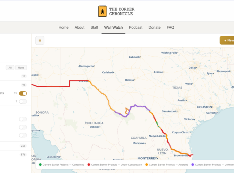
It’s this lack of transparency from the administration that led The Border Chronicle to build Wall Watch, a new community mapping tool for border wall construction, and other border infrastructure, that we launched on Tuesday.
Border residents can submit reports on construction, staging sites, surveying etc. to the Wall Watch border-wide interactive map. We’ve already added more than 20 community reports from Texas and Arizona since the launch. It’s easy to submit a report, and it helps build an accurate picture of wall construction, buoy barrier installation as it is happening across the U.S.-Mexico border region. As Eagle Pass, Texas, resident Amerika Garcia Grewal, an early community tester of Wall Watch noted, “For those of us who live along the Rio Grande, we have a basic right to know what’s happening in our own backyards, and what’s going into the water that we depend on,” she said. “Wall Watch ensures that the public, not political agendas, control the record of what’s happening to our land and our homes.”
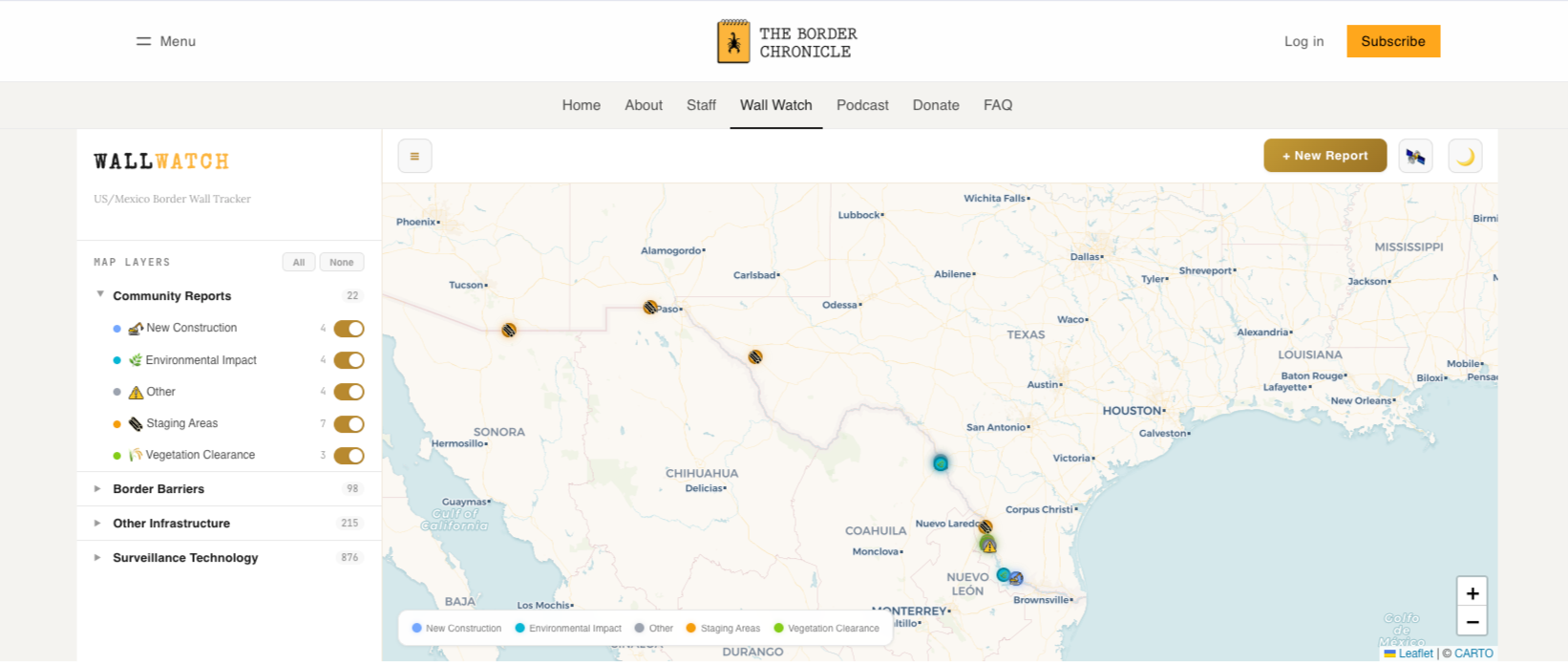
Wall Watch’s interactive map will be continuously updated for the next year, and we hope for many years to come. Before Wall Watch there was no reliable border-wide map or database for current border wall construction. We’ve also added other data to the map including the Electronic Frontier Foundation’s border surveillance data. And we plan to add other useful data in the coming months. So please spread the word about Wall Watch and submit a community report! And if you’re using Wall Watch, send us feedback at wallwatch@theborderchronicle.com.
This Week in The Border Chronicle:
More News from Across the Border Region:
Zapata County, Texas, resident Elsa Hull arrested today for peaceful protest against border wall construction at the San Ygnacio Bird Sanctuary. We the People RGV
(This is Hull’s second arrest for peaceful protest. You can read our Q&A with Hull here about her arrest in June.)
The US tried to stop cartel money-laundering. It devastated mom-and-pop businesses instead The Guardian
Queer Activists Are Living in a Tree to Stop Trump’s Border Wall Lookout
Mexico files criminal complaints in US over migrant deaths in custody Reuters
New issues emerging for Texas Border Coalition to tackle Rio Grande Guardian
U.S. Deportees Assaulted, Threatened at Gunpoint in Equatorial Guinea Arizona Daily Star
The Man in Charge of Immigration Data Just Resigned The Atlantic
Support independent journalism from the U.S.-Mexico border today. We’re not owned by billionaires, we’re funded by you. Help us continue our community work by becoming a paid subscriber today for just $6 a month or $59 a year. We can’t do this without you!
Author
Related Articles
The Border Chronicle Weekly Roundup + Poetry Supplement: September 18
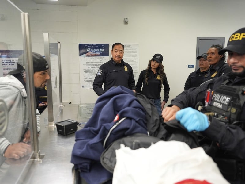
A federal court rules that law enforcement can search cell phones at the border without reasonable cause or a warrant, CBP One and CBP Home are one in the same, and a podcast on our fifth anniversary.
The Border Chronicle Weekly Roundup (+ Poetry!): September 11
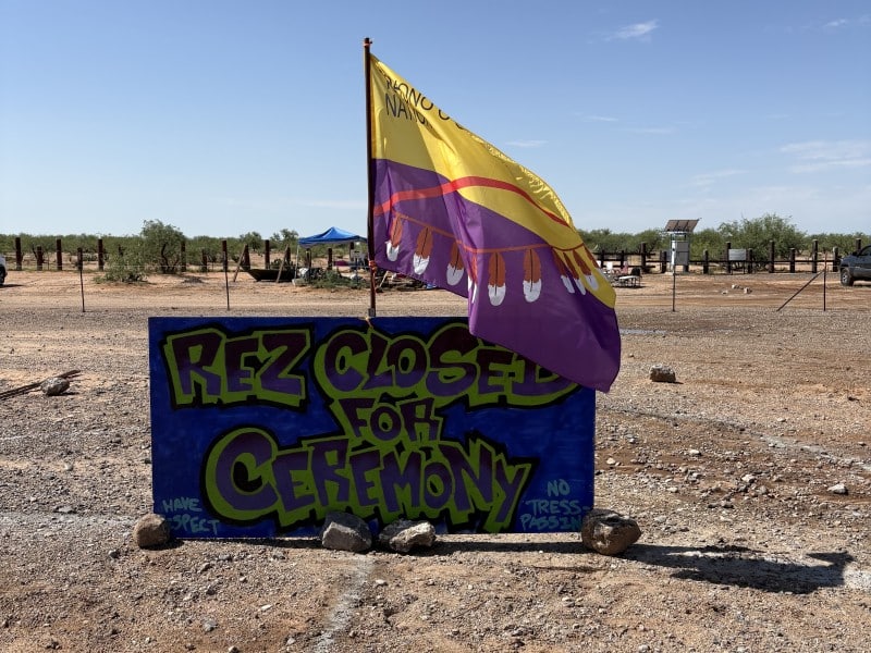
How the 9/11 attacks transformed the borderlands, the Tohono O’odham fight back against the border wall, and saving Mexicali’s lagoons, plus poetry!
The Border Chronicle Weekly Roundup: September 4
The Border Chronicle launches its new poetry series today, resistance halts the border wall in Lochiel and Big Bend for now, and the Maasai face climate change, plus immigration policy is maternal health policy.