The Border Chronicle Launches Wall Watch, a Community-Powered Mapping Project
Wall Watch combines geospatial mapping, archival research, and community participation to provide the public with an accurate, continually updated record of border wall construction along nearly 2,000 miles of the international border.
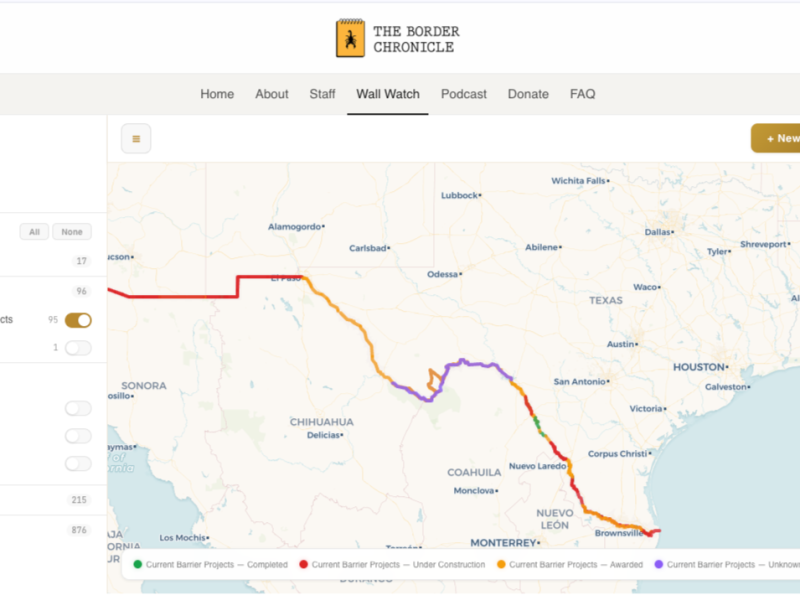
The Border Chronicle is proud to announce the launch of Wall Watch, a border-wide, community-powered mapping project.
The Trump administration is quickly moving to finish walling off the nearly 2,000-mile U.S.-Mexico border. What most Americans don’t realize is that what’s being built is not just a 30-foot wall but a “wall system.” This means two layers of a 30-foot-high wall along with 150-foot-wide enforcement roads, surveillance towers, stadium lights, and cameras. In Texas, this includes a more than 500-mile chain of buoys on the Rio Grande—each buoy weighing a ton—that will serve as a secondary wall.
This taxpayer megaproject will cost more than the Panama Canal, or the Hoover Dam, to build. And it will continue costing Americans billions to maintain for generations. With more than $46 billion in taxpayer money to spend in the next three years, a handful of private contractors are dynamiting mountains, pumping aquifers dry, closing public roads, and building walls through communities and environmentally sensitive areas, with little or no input from border residents, wildlife and environmental experts, or tribal nations.
The Department of Homeland Security has waived all federal laws that would require community input and impact studies.
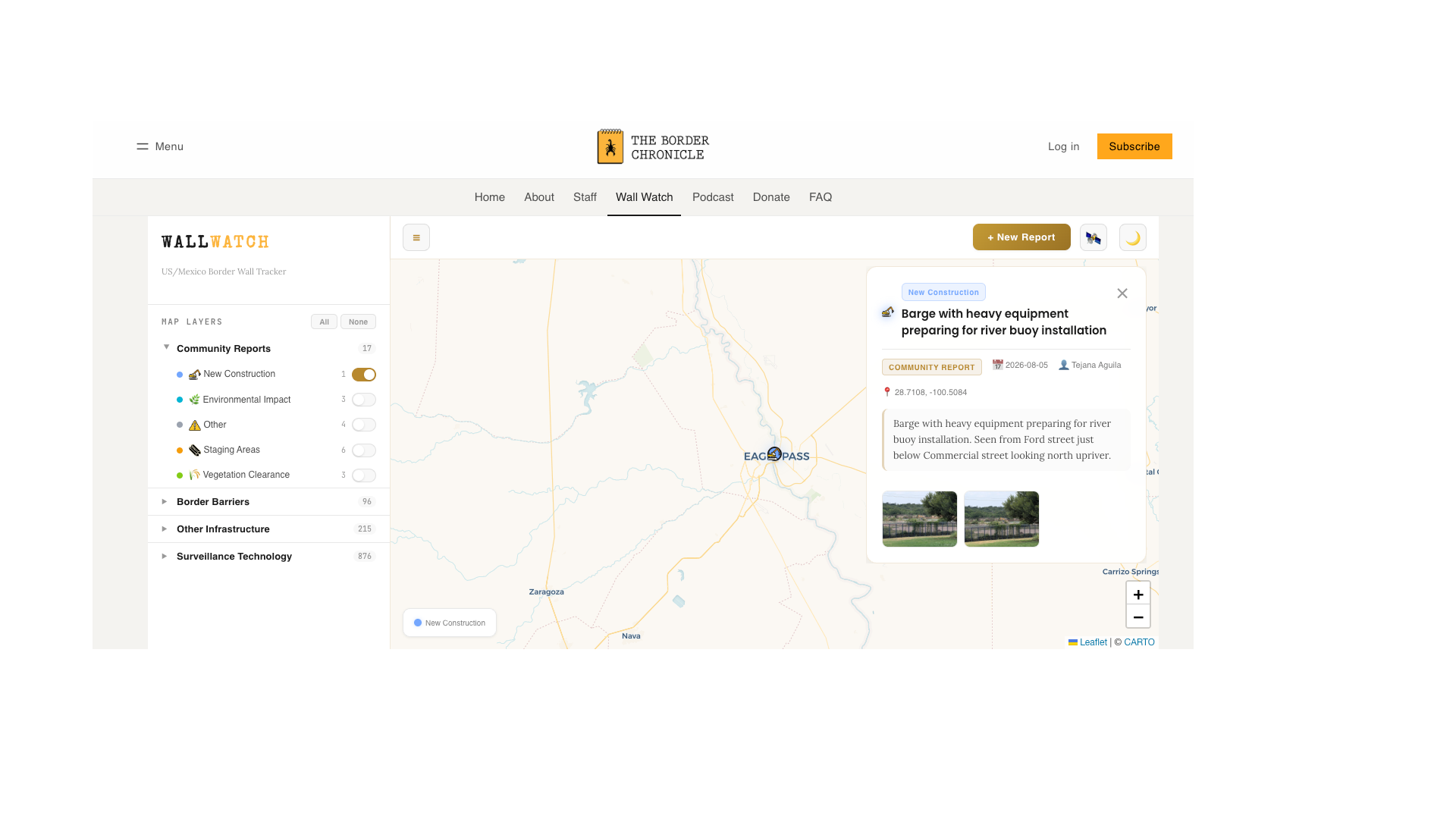
We built the web-based Wall Watch app so that border residents can document construction, environmental damage, and surveillance infrastructure in their communities, allowing us to better understand what is happening on the ground in the absence of any meaningful information from the federal government. Our intention with Wall Watch is to create—for the first time—an interactive border-wide map for the public with reliable data that is continually updated.
Eagle Pass, Texas, resident Amerika Garcia Grewal, an early tester of Wall Watch’s community reports, called it “seamless for regular folks to document, verify, and expose border construction. I was using it on a laptop and on a phone, and it was easy to use, easy to upload, and easy to document.”
Garcia Grewal added, “For those of us who live along the Rio Grande, we have a basic right to know what’s happening in our own backyards, and what’s going into the water that we depend on. Wall Watch helps bring to light a process that’s been completely hidden in the dark. Neither the federal government nor the State of Texas has given us accurate or timely answers. Administrations come and go, but we were here before them, and we’re going to be here after them. Wall Watch and The Border Chronicle are ensuring the public, not political agendas, control the record of what’s happening to our land and our homes.”
This was echoed by another early community tester, Myles Traphagen, a GIS data specialist and science writer at the Tucson, Arizona, environmental nonprofit Cuenca los Ojos. Traphagen said, “With border wall construction projects occurring along nearly 2,000 miles in mostly remote parts of four states, it’s difficult to comprehend the extent and magnitude of it all. Wall Watch is a much-needed tool that concerned citizens and elected officials can use to see the excessive waste of resources and wanton destruction of our public lands.”
How to Use the Wall Watch App
The Wall Watch app is simple to use. Just go to https://wallwatch.theborderchronicle.com/. There, you can view different layers of existing and current border wall construction, as well as other border infrastructure, including surveillance infrastructure. You can submit a report on wall construction, surveying, buoy barrier staging or installation, etc., in your community with geocoordinates, a written description, and photographs to be uploaded to the interactive map.
The Border Chronicle plans to maintain this map for years to come, updating it with useful data as we receive it. The web-based app was built by Matt Crocker, founder of Rioplex Technology in South Texas, and Dugan Meyer, a Tucson-based geographer who serves as the Wall Watch administrator and The Border Chronicle’s resident data and GIS specialist. Dugan will receive the community reports, vet them, and then add the approved reports to the map. The Wall Watch project director is (me) Melissa del Bosque, a Border Chronicle cofounder and its executive director. Additional information about the project, including our privacy policy, methodology, and data sources, can be found on the Wall Watch website.
Steal Our Data, Please!
The public is free to use Wall Watch data. We ask only that you cite Wall Watch and The Border Chronicle in your work. For assistance with downloading data or questions, contact Dugan Meyer or Melissa del Bosque at wallwatch@theborderchronicle.com.
We want to thank the many researchers and organizations whose data has made Wall Watch possible. You can read the full list of acknowledgments here, under “Data Sources by Map Layer.” We’ve taken that data, added our own, and will also add the community report data as it comes in.
We Need Your Support
The Border Chronicle was founded in 2021 by me and Todd Miller. We are independent journalists who have reported on the U.S.-Mexico border for the last two decades. Fun fact: I wrote my first border wall investigation in 2008 for The Texas Observer. The Border Chronicle relies on paid subscribers and grant support to exist. As the only independent border-wide publication in the country, The Border Chronicle is uniquely positioned for a project like Wall Watch, which no other outlet or organization would likely commit to.
So if you feel that this project is valuable and useful, please support our work as a paid subscriber or with a donation. We would like to keep The Border Chronicle and Wall Watch running for many years to come, but we will need your help!
Become a sustaining supporter of our work today by becoming a paid subscriber for just $6 a month or $59 a year. We can’t do this without you!
Make a one-time donation to support Wall Watch and The Border Chronicle’s independent journalism at the U.S.-Mexico border.
As a newly launched project, we also very much appreciate your feedback on Wall Watch. We imagine there will be updates and corrections to come, since this is a living, breathing community reporting project. If you see an error or have a comment or concern, contact us at wallwatch@theborderchronicle.com.
This map will work only if border residents send in their community reports. So please share it with your friends and family. We hope it will become a valuable source of public data and transparency for years to come.
Author
Related Articles
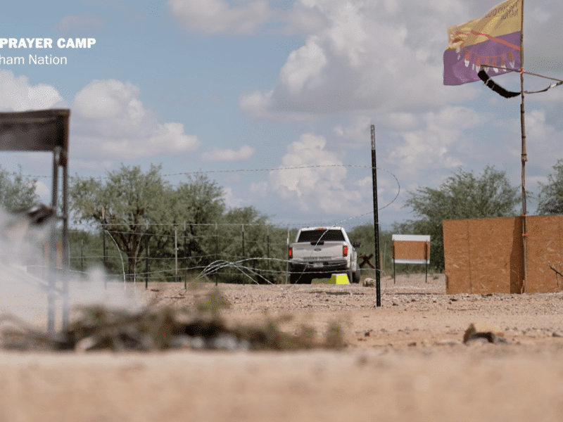
“We See No Border”: The Tohono O’odham Fight Against the Border Wall
The irreparable harm that has already been done, says tribal chairman Verlon Jose, you can feel it, hear it, in the people.
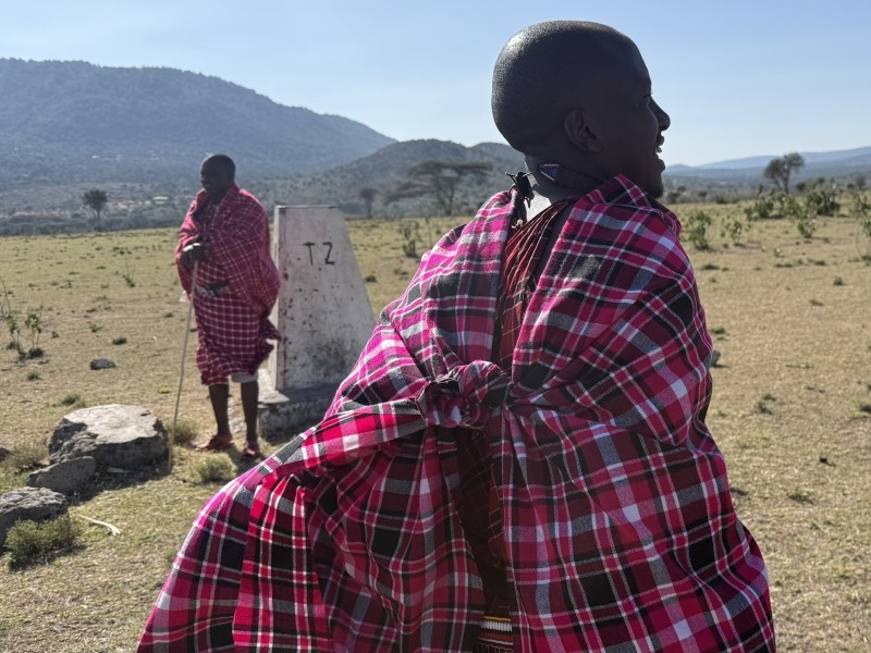
Swarm Intelligence: A Reporter’s Notebook on the Freedom of Movement in the Maasai Borderlands
Could solutions to climate woes such as drought be found in the freedom of mobility? This on-the-ground report from the Kenya-Tanzania border examines that question and more.
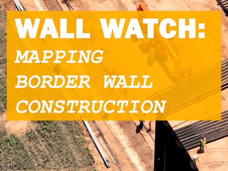
Wall Watch: Mapping Trump’s $46 Billion Border Mega-Project
In this week’s podcast, Melissa del Bosque and Geographer Dugan Meyer explain how the Border Chronicle’s new project, Wall Watch, helps residents document and understand the massive construction project underway at the U.S.-Mexico border.
