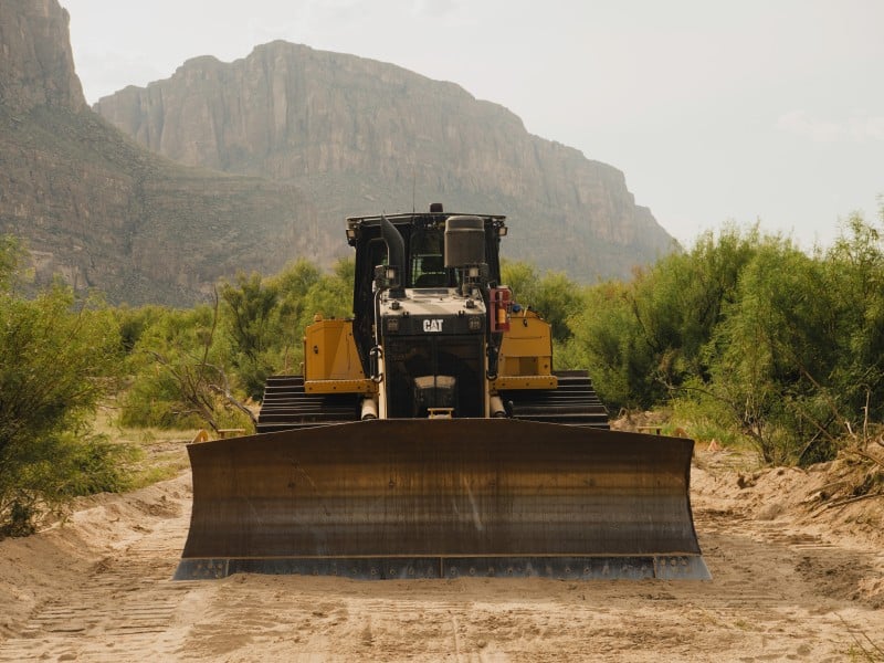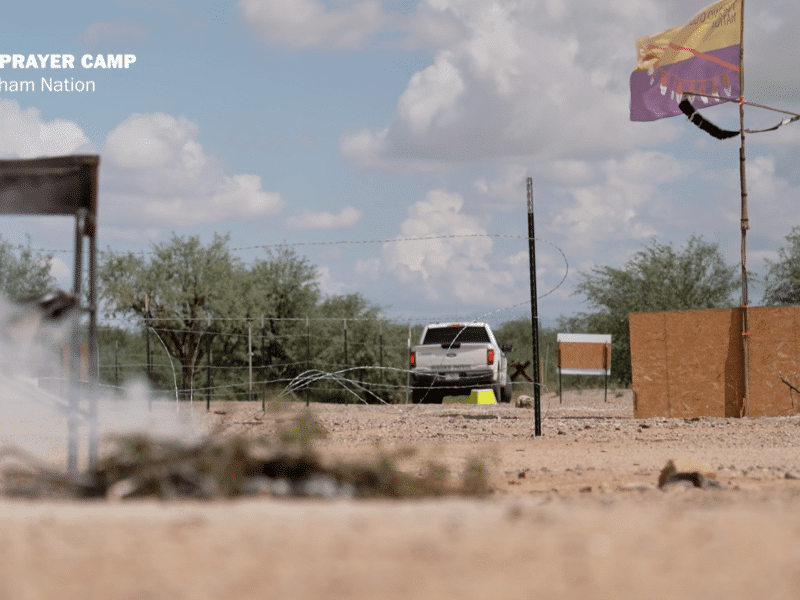
As DHS gaslights border communities, help document the reality on Wall Watch, our new community powered map for border wall construction, and a podcast from the resistance in Lochiel, Arizona, where protestors try to save the last ancient Cottonwood tree from bulldozers.
A vivid depiction of what has been happening during the last eight weeks of resistance against border wall construction in southern Arizona’s San Rafael Valley.
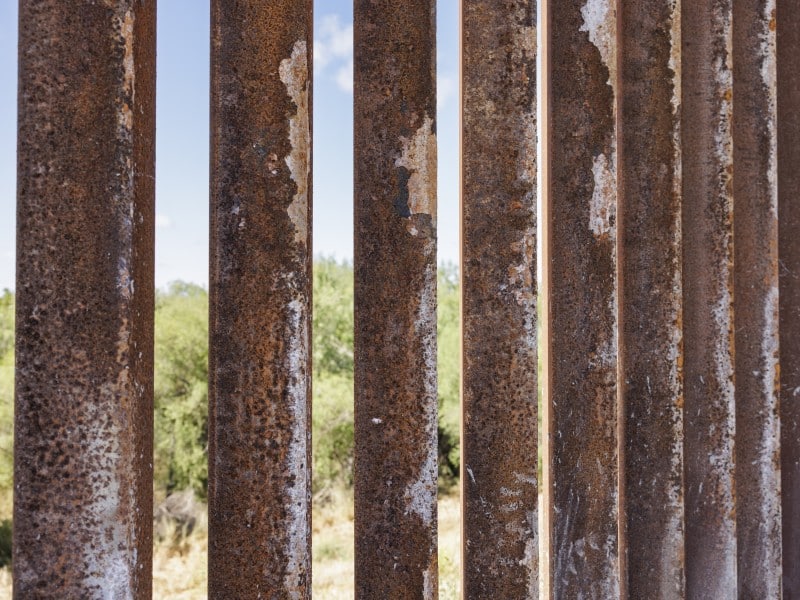
Wall Watch combines geospatial mapping, archival research, and community participation to provide the public with an accurate, continually updated record of border wall construction along nearly 2,000 miles of the international border.
The Everywhere Border: A podcast with Border Chronicle founders, Todd and Melissa
Border Chronicle founders, Todd and Melissa, talk about how law enforcement surveillance, high-speed chases instigated by Border Patrol, unwarranted searches and seizures, and other heavy-handed policing that border communities have endured for decades has now moved into the interior of the country.
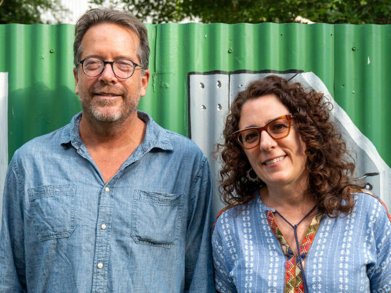
Border Chronicle founders, Todd and Melissa, talk about how law enforcement surveillance, high-speed chases instigated by Border Patrol, unwarranted searches and seizures, and other heavy-handed policing that border communities have endured for decades has now moved into the interior of the country. They also discuss Todd’s upcoming book on climate change and the Rio Grande, and recent Border Chronicle community events in the borderlands —stay tuned for more in the Fall! And they talk about the Trump administration’s attempt to install 500 miles of buoy barriers on the Rio Grande, and walls that are currently being built through environmentally sensitive areas, sacred sites and areas where there has historically been little migration.
Support local independent journalism from the U.S.-Mexico border today. Become a paid supporter of our work for just $59 a year or $6 a month. We can't do this without you!
A vivid depiction of what has been happening during the last eight weeks of resistance against border wall construction in southern Arizona’s San Rafael Valley.
Wall Watch combines geospatial mapping, archival research, and community participation to provide the public with an accurate, continually updated record of border wall construction along nearly 2,000 miles of the international border.
As floodwaters swept hundreds of one-ton border buoys downstream, international bridges closed, commerce slowed, and officials struggled to get answers from DHS about a project advancing despite local opposition, environmental concerns, and treaty questions.
Hundreds of massive orange buoys staged for a controversial DHS floating barrier project broke free near Eagle Pass and are now drifting toward Laredo, threatening bridges, commerce, drinking water supplies and downstream communities.